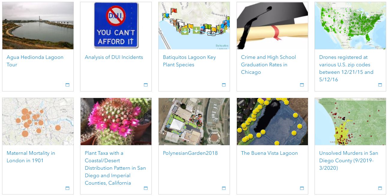
Student Projects from our Introduction to GIS Course
Other GIS Resources
- National Geospatial Technology Center of Excellence
- San Diego local physical geography, social, political, and economic data (free SanGIS account required)
- ESRI Living Atlas
- Census Data and American FactFinder Tutorial Videos
- Base maps, terrestrial ecosystems, marine ecosystems, pollution and waste, and human influence GIS layers
- Marine and geology data for various parts of the U.S.
- USGS National Map Viewer with data on structures, transportation, political boundaries, hydrography, land cover, elevation, and aerial photo
- USGS tutorials and GIS data for hydrologic features (rivers, stream gage), watershed and subregions, flow direction and accumulation, and estimated flow volume and velocity.
- USGS latest earthquake map and data


