Train for careers in surveying and mapping.
Learn to measure land, use industry tools, and apply surveying techniques used in construction and engineering.
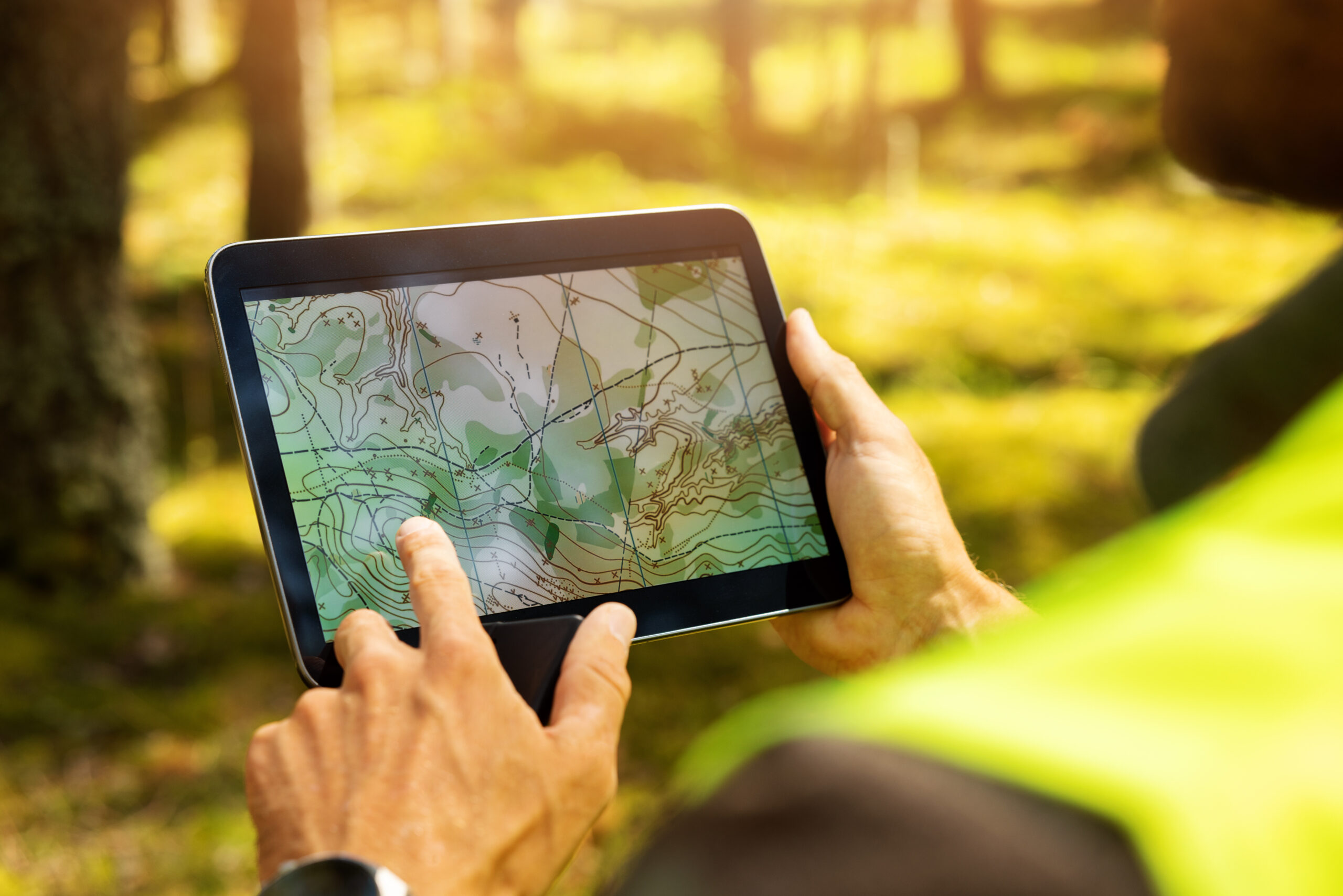
Learn how land is measured, mapped, and analyzed for construction, engineering, and environmental projects. These courses introduce the tools and techniques used in real-world surveying.
Introduction to Drone Safety and Applications in Geomatics
N GEOG 900
- Learn the basics of drone (sUAS) operation and safety.
- Know how drones are used in mapping and land surveying.
- Get introduced to Geographic Information Systems (GIS).
Introduction to Land Surveying
N GEOG 910
- Learn to measure distances, angles, and elevations.
- Read and create maps and land descriptions.
- Understand the basics of property and boundary surveying.
To see details for these classes, visit the Online Schedule. Choose the term and “N GEOG-Noncredit Geography” in your subject search criteria. If you are a Palomar College student already, you can enroll directly. If you are new to Palomar, please click “Take the Next Step.“